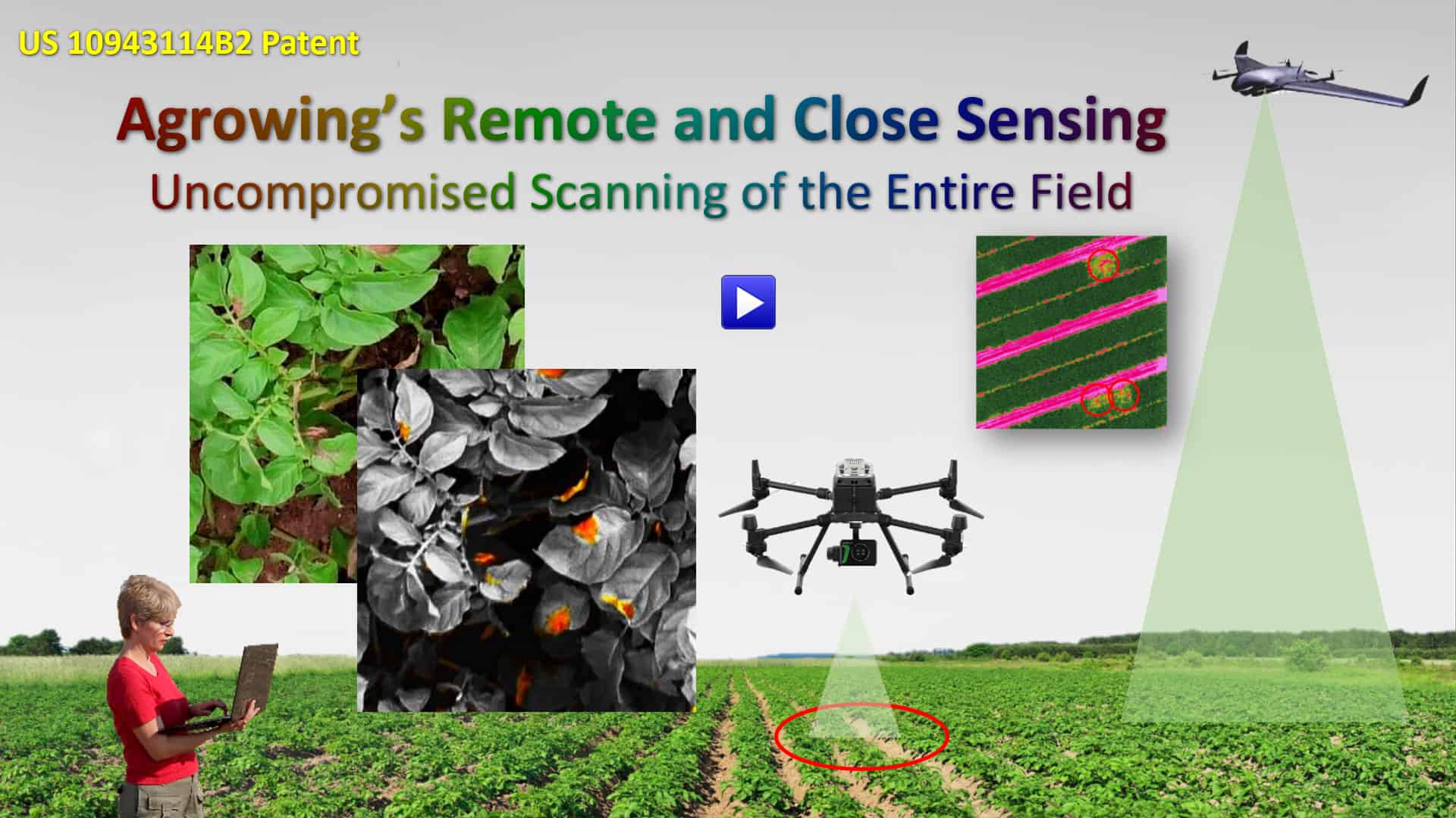
1. Enabling the acquisition of the best and most detailed NDVI maps (1.7cm per pixel from 100m altitude).
2. Adding to the imprecise high altitude NDVI the ability to acquired multispectral imagery of 0.5mm per pixel from as low as 3 meters.
NDVI and similar multispectral metrics and maps provide assessments and guesstimations, which call for verification.
Agrowing’s patented Sensors and Remote & Close Imagery Acquisition Method provide growers with accurate actionable data, which diminishes the need for such verification in the field.
Our Worldwide Patented Technologies
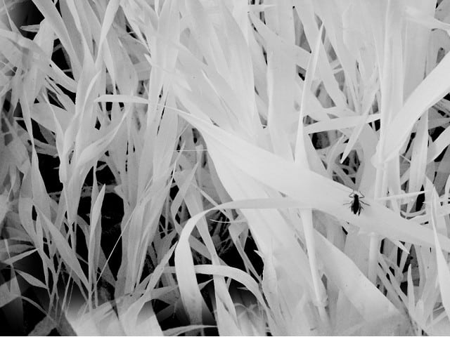
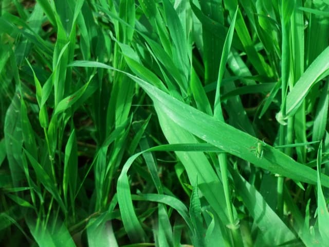
The unique design of Agrowing’s sensors and our imagery acquisition method, result in the ability to analyze extremely high-resolution multispectral data, which is collected from outlying and suspicious areas of interest, as an additional step to our high-end traditional NDVI. Such areas are in many cases inaccessible to the agronomists. Agrowing’s vision and technologies enable accurate in-the-field automatic machine-vision and machine-learning identification of agricultural hazards like pests, diseases and irregularities like stress and nutrient deficiencies.
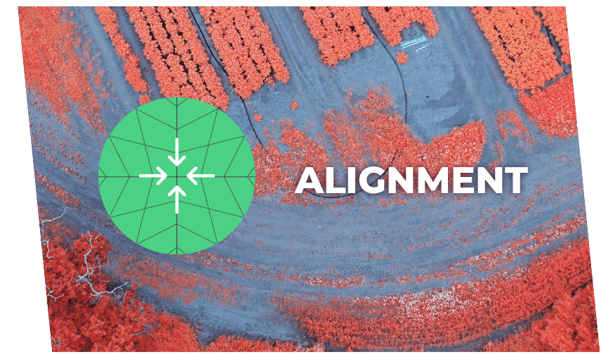
Most airborne multispectral imaging systems employ multiple CCD cameras, each of which is equipped with a different bandpass filter. This approach has the advantage that each camera can be individually adjusted for optimum focus and aperture settings, but has the disadvantage that the images from all the bands have to be properly aligned. With multiple optical systems, it is very difficult to achieve this alignment optically or mechanically, so a software-based registration procedure is commonly used to align the band images.” Chenghai Yang USDAARS Southern Plains Agricultural Research Center.
Agrowing’s patented (US and EU) technology enables perfect alignment at all times and eliminates the need for frequent hardware calibration.
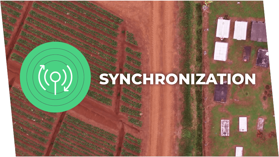
Multi cameras can hardly be synchronized for perfect matching of the acquired imagery using fast moving drones. A gap of 20ms could result in 20cm distance for a drone flying at 10m per second. Comparing two point of views that remote from each other is detrimental to reliable remote sensing. Agrowing’s patent pending technology enables using 100% synchronized imagery acquisition by using a single camera with a single sensor and a single shutter.
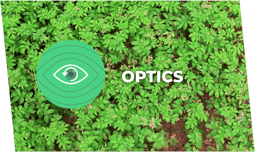
Most of the multi spectral cameras use inferior optics of short focal length (wide angle) low resolution and high distortion. It is not uncommon to find that some of the “leading” multi spectral cameras are of 1 or 1.3 Mega Pixel and that the distortion of the lens exceeds 15%… As a result using such cameras means that a lot of pre-processing is required in order to start analyzing the data, a process in which pixels are manipulated and changed. This means that even the declared low resolution is not the actual resolution captured by those cameras. Agrowing’s lenses are of very low distortion and high resolution. NDVI/Red-Edge and 3D modeling can be acquired in a single flight due to the low distortion of the lenses. Go to the Gallery and see a few samples.